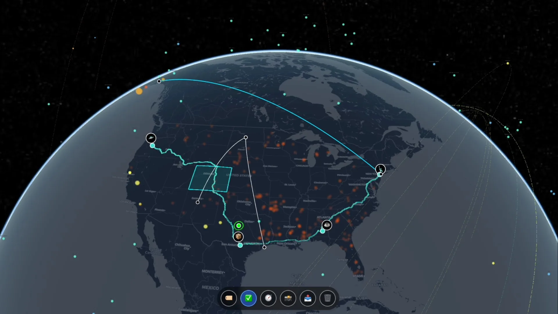
Everything on one globe.
Twelve interlocking systems that turn raw spatial data into operational understanding. Designed for non-technical teams; powered by professional-grade infrastructure.
See it working in the field.
Short clips from the live platform. This is what you get on day one. Drag and Drop 3D model files (.glb), GPS tagged photos, and GIS data. Bring your own API keys for live feeds, geocoding, routing, collaboration, and AI integrations.
Built for how you work.
Outcomes-first spatial intelligence for teams that share and collaborate with maps. Drag and drop your 3D models, CSV, KML/KMZ, and rich GIS data.
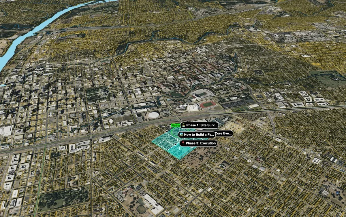
Event Production & Venues
Plan in 3D. Collaborate in real-time. Hand off with a link.
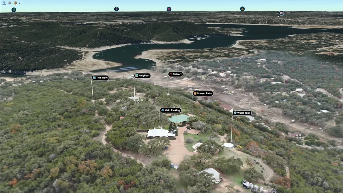
Real Estate & Development
Showcase properties with data layers and insights into the local market.
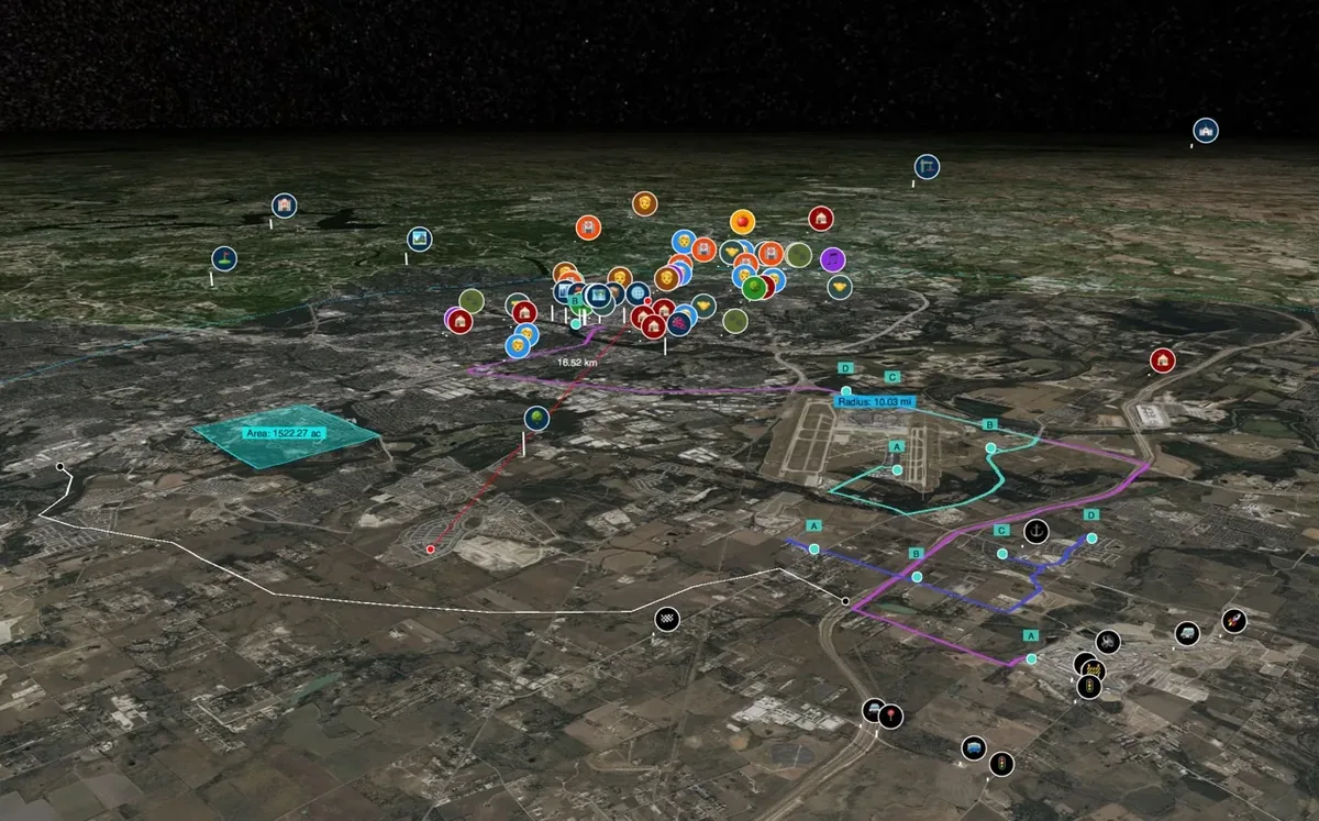
Business Intelligence
Turn spreadsheets into territory maps in under a minute.
Project & Site Management
Your site plan, live and coollaborative.
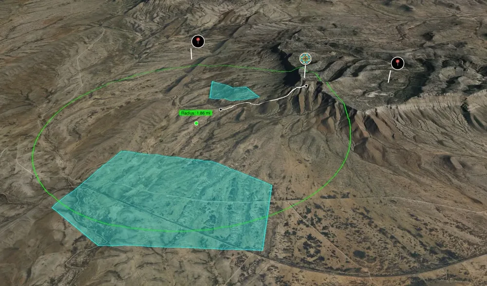
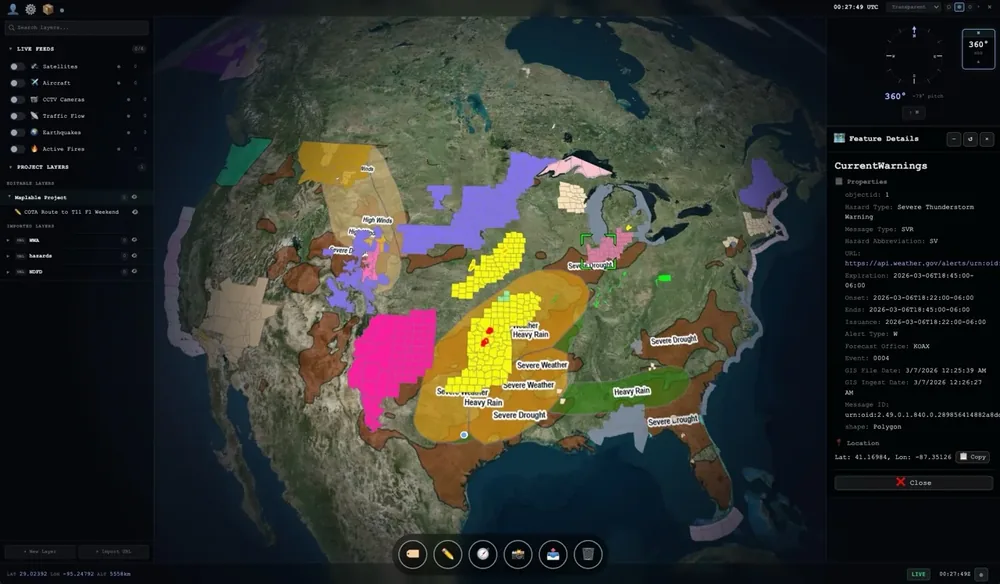
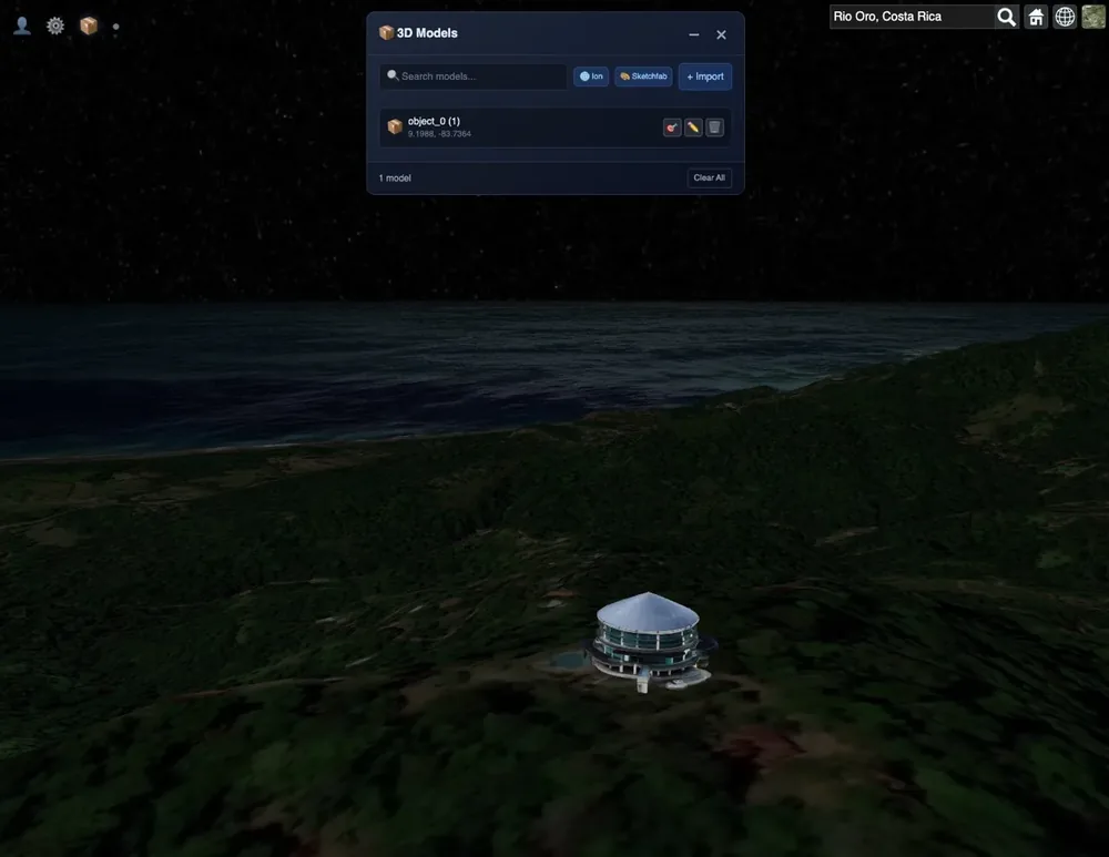
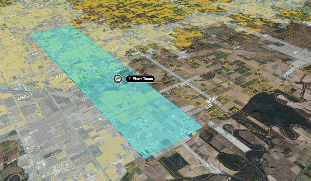
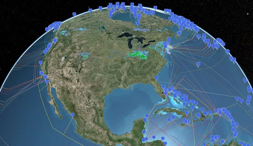
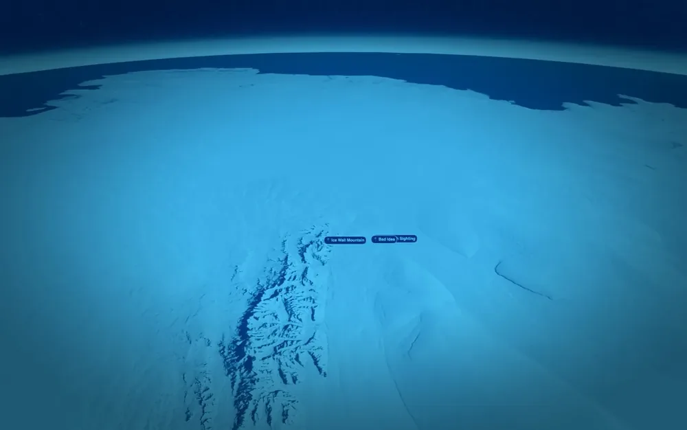
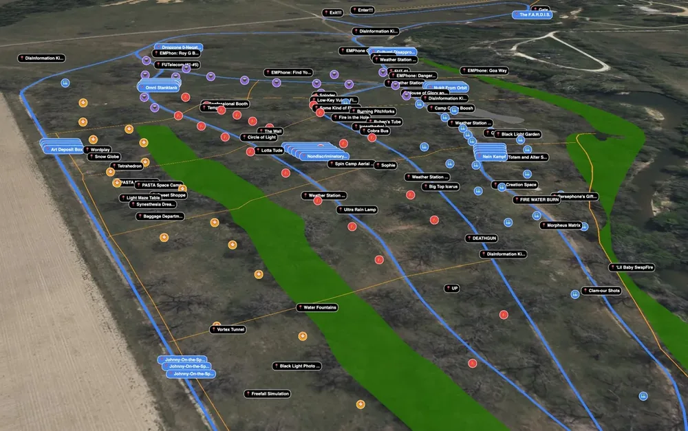
From the live platform.
Real screenshots from real projects. Click any frame to inspect at full resolution.
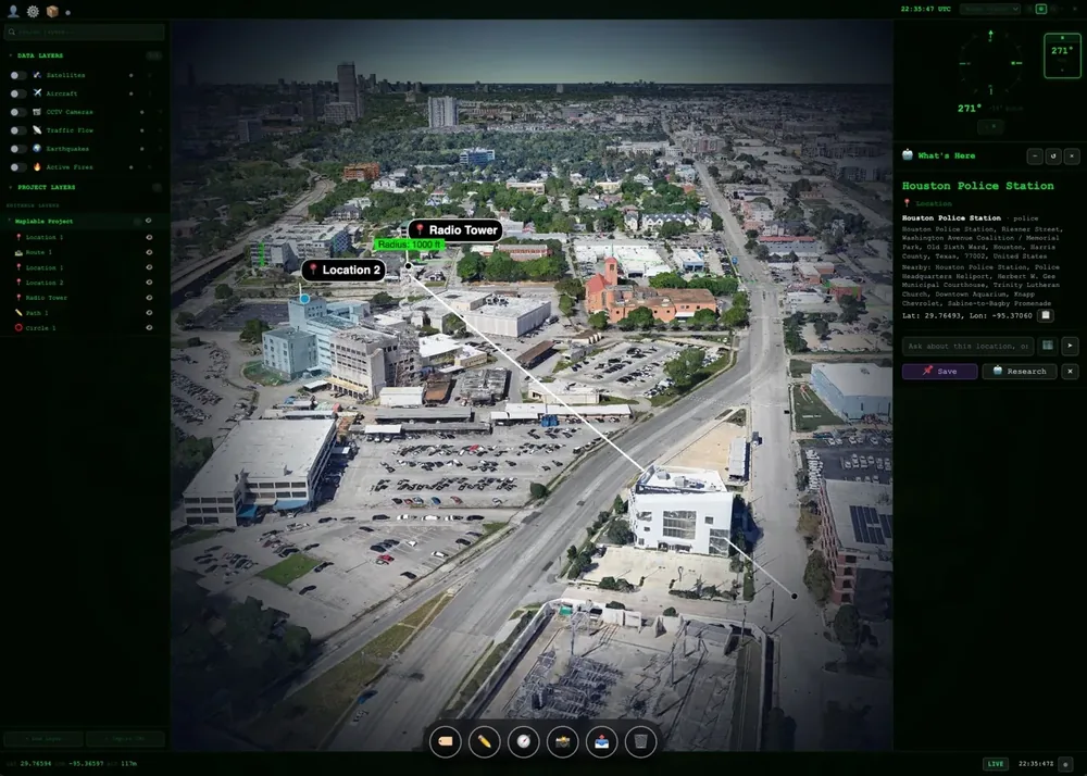
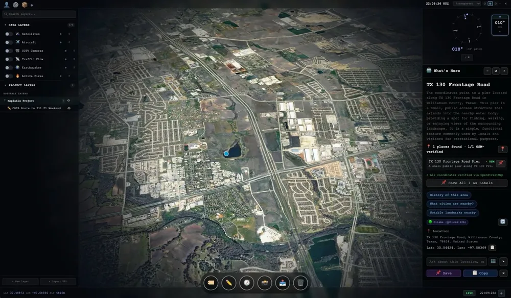
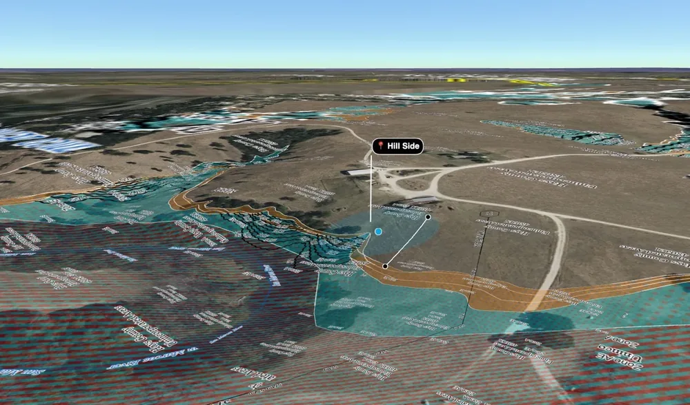
Self-host. BYOK. Own your data.
Public and private distributed cloud, single tenancy, SSO/SAML, and bring your own keys support for external API services. Run Maplable inside your perimeter. No data leaves your network.
Start free. Go Pro to collaborate and share projects.
Every account starts on the Free Earth globe with unlimited projects. Pro unlocks project sharing and live collaboration.
- Free Earth 3D globe
- Unlimited labels & projects
- Paths, areas, circles & trails
- Project import / export
- Offline-ready
- Everything in Free
- Hosted Account
- Project sharing & embedding
- Live collaboration sessions
- GIS layers, 3D Tiles & API keys
- Everything in Pro
- Self-hosted or single tenancy
- SSO / SAML / OIDC
- Air-gapped deployment
- Priority support & onboarding
Explore the Earth with Context.
Create a free account and be mapping on a live 3D globe in minutes.